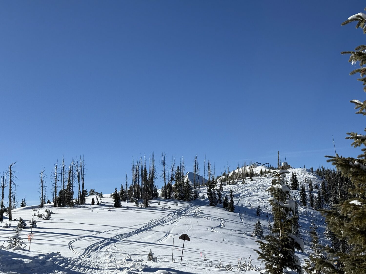
Snow totals at Wolf Creek Ski Area continued to gradually rise over the last week, with the ski area reporting a total of 73 inches on the season as of press time Wednesday, Jan. 7. This is up from 66 inches, which was the year-to-date total on New Year’s Eve.
Mostly rain fell at lower elevations over the new year holiday, with local reports from the Community Collaborative Rain, Hail and Snow Network showing anywhere from .06 inches of rain to .45 inches of rain received in various parts of Archuleta County from Dec. 31, 2025, to Jan. 3.
Pagosa Country is expected to receive some more precipitation throughout today, Thursday, Jan. 8, and into Friday, Jan. 9, with the National Weather Service (NWS) forecasting snow along Wolf Creek Pass and in the Pagosa Springs area.
According to the NWS, for today, Thursday, Jan. 8, in Pagosa Springs, snow showers are likely with a high near 38 degrees. Chance of precipitation is listed at 80 percent, with new snow accumulation of 1 to 2 inches expected.
Snow showers are expected to continue into the evening, with a low of 15 degrees and chance of precipitation falling to 70 percent. Less than an inch of additional snow accumulation is expected overnight.
For Friday, Jan. 9, there is a 50 percent chance of snow showers before 8 a.m. with otherwise partly sunny skies and a high near 38 degrees. The low is forecast at 5 degrees with mostly clear skies in the evening.
Sunny skies and warmer temperatures are expected moving into the weekend with a high of 39 degrees on Saturday, Jan. 10, and a high of 47 degrees on Sunday, Jan. 11.
Lows are forecast at 11 degrees and 13 degrees, respectively.
Wolf Creek
Slightly higher snow totals are expected along Wolf Creek Pass, with the NWS predicting anywhere from 6 to 12 inches from late Wednesday, Jan. 9, through Friday, Jan. 9.
For today, Thursday, Jan. 8, the high along Wolf Creek Pass is forecast at 19 degrees with a 90 percent chance of snow showers with new snow accumulation of 3 to 5 inches expected. The low is forecast at 10 degrees in the evening with an additional 1 to 3 inches of new snow accumulation expected.
On Friday, Jan. 9, the high is forecast at 16 degrees with a 60 percent chance of snow showers and an expected new snow accumulation of around an inch. The low is forecast at 2 degrees with a slight chance of snow showers, then becoming mostly clear skies.
Sunny skies are expected to return along Wolf Creek Pass on Saturday, Jan. 10, as well, with the high forecast at 24 degrees and the low forecast at 14 degrees.
Similar weather is expected for Sunday, Jan. 11, with sunny skies and a high of 28 degrees and a low of 14 degrees.
Snowpack and stream flow
According to data from the Natural Resource Conservation Services (NRCS), as of 1 p.m. on Wednesday, Jan. 7, the Wolf Creek Pass site at 10,930 feet had a snow water equivalent of 7.6 inches, compared to that date’s median of 15.5 inches. This is up from the Dec. 31, 2025, report of 7 inches.
The current amount is 49 percent of that date’s median snow water equivalent.
Snowpack levels are monitored by measuring snow water equivalents that gauge how much water is held within a snowfield, and are significant predictors of springtime runoff.
The San Miguel, Dolores, Animas and San Juan River basins were measured to be at 49 percent of its 30-year median snowpack as of Dec. 31, 2025, and at 56 percent on Jan. 7.
The Wolf Creek summit had the highest current snow water equivalent in the San Miguel, Dolores, Animas and San Juan River basins, and the Upper Rio Grande basin, as of press time Wednesday, Jan. 7.
In Pagosa Springs, U.S. Geological Survey for the San Juan River at Pagosa Springs has showed record flows multiple times since the start of the year.
For example, at 9 a.m. on Jan. 2, the river was running at 128 cubic feet per second (cfs), which compares to a median of 53 cfs and a previous high of 118 in 1986.
At 11 a.m. on Jan. 5, the river was running at 119 cfs, which compares to a median for that date of 54.5 cfs and a previous max value of 116 in 1987.
By 11 a.m. on Wednesday, Jan. 7, the river was flowing at 111 cfs. The Jan. 7 median is 55, and the record high is 116 cfs, which was recorded in 1987.
Drought
According to the U.S. Drought Monitor’s most recent map released on Dec. 31, 2025, 100 percent of Archuleta County is in an “abnormally dry” drought stage.
clayton@pagosasun.com


 >