On April 30, the National Weather Service (NWS) released its drought outlook for May, which states “the last 4 weeks brought improvement to areas of drought in most of the Rockies and Intermountain West.”
The outlook depicts much of New Mexico still with areas of persistent drought along with small portions of southern Colorado, including Archuleta County.
Pagosa Area Water and Sanitation District Engineer/Manager Justin Ramsey explained in an interview that water is still flowing into the district’s Fourmile diversion.
“There’s still a lot of snow up there, so we’re in good shape for now,” he said. “March was a good month … helped us out quite a bit.”
According to the U.S. Drought Monitor, as of noon on April 30, all of Archuleta County is in an abnormally dry stage, with southwestern parts of the county in a D1 Level Moderate drought.
For more information and current drought information, visit https://droughtmonitor.unl.edu/CurrentMap/StateDroughtMonitor.aspx?fips_08007.
Snowpack
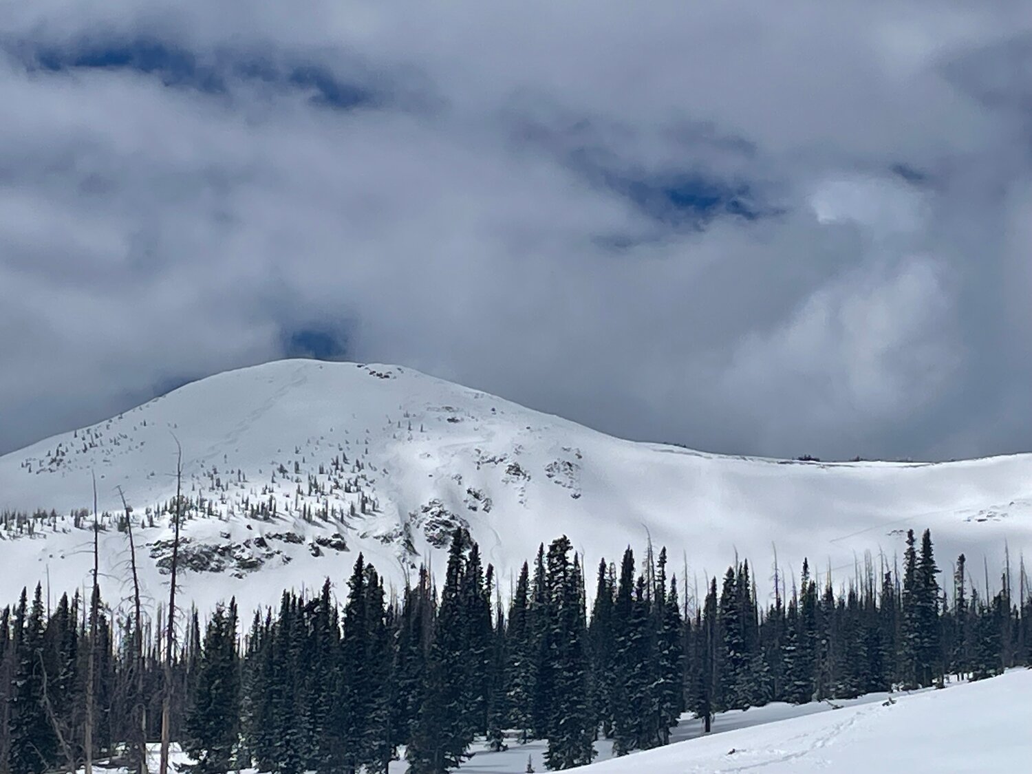
Snowpack levels across the state were up at the start of April due to “late-season snowstorms and consistent precipitation,” according to an April 9 press release from the Natural Resource Conservation Service (NRCS).
The state’s snowpack was at 114 percent of median on April 9, but, as of April 30, the state’s snowpack had fallen to 91 percent of median.
Pagosa Country received a mix of precipitation last weekend, with higher elevations seeing snow and lower elevations getting some rain, graupel and some snow.
According to Shawn Prochazka at Pagosa Weather, based on SNOTEL data, the top of Wolf Creek Pass received about 5 to 7 inches of snow from Friday, April 26, to Sunday, April 28.
As of 11 a.m. on Tuesday, April 30, the Wolf Creek summit, at 11,000 feet of elevation, had 21.8 inches of snow water equivalent, according to NRCS.
The Wolf Creek summit was at 63 percent of the April 30 snowpack median.
The San Miguel, Dolores, Animas and San Juan river basins were at 64 percent of median, according to the NRCS. The median snowpack peak date is April 2.
The South Platte basin had the highest snow water equivalent in the state at 104 percent of median as of Tuesday, April 30.
River report
According to the U.S. Geological Survey (USGS), the San Juan River was flowing at a rate of 538 cubic feet per second (cfs) in Pagosa Springs at 11 a.m. on Tuesday, April 30.
Based on 88 years of water records, the median flow for that date is 712 cfs, with a record high flow of 2,090 cfs in 2019.
The lowest recorded flow for that date is 127 cfs in 2002.
As of April 30 at 11 a.m., the Piedra River was flowing at a rate of 577 cfs, which is below the median flow rate of 813 cfs for that date, according to the USGS.
The record high flow rate for that date was set in 1973 at 3,270 cfs, while the record low was set in 2002 at 97.7 cfs.
Weather forecast
The NWS is forecasting warm, sunny and breezy days for this weekend with highs in the 70s and lows in the 30s.
According to the forecast, the high for Thursday, May 2, is 64 degrees with sunny skies and wind gusts as high as 30 miles per hour. The evening will be mostly clear with a low of 30 degrees.
Friday, May 3, will be sunny and breezy with a high of 68 degrees and a low of 33 degrees.
Saturday, May 4, will be sunny with a high of 72 degrees and a low of 35 degrees.
Sunday, May 5, will also be sunny and breezy with a high of 73 degrees and a low of 37 degrees.
clayton@pagosasun.com


