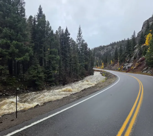
Flooding and road closures impact southwest and south-central Colorado

Multiple safety closures in place throughout the region

Posted

The Colorado Department of Transportation is urging motorists to avoid travel during the current flood warnings and flood watches issued for southwest and south-central Colorado. If you must travel, avoid driving through flooded areas and never drive through closure gates or barricades. Check the latest road conditions and traffic impacts on COtrip.org or on the COtrip Planner app.

Multiple full closures remained in place across southwest Colorado. Motorists should be prepared for additional safety closures in other areas of the region where significant flooding is creating roadway hazards. Safety closures may be extended due to weather conditions, water levels and highway damage. 

Extended Safety Closures as of October 23 at 8 a.m.: 

  • US 550 (Mile Points 75 to 80) Red Mountain Pass between Silverton and Ouray
  • US 160 (MP 133 to 137) just west of Pagosa Springs from Deer Trail Road to Elk Canyon Ranch Road/Hersch Ave
  • US 160 (MP 143) downtown Pagosa Springs at McCabe Creek, between 7th Street and Lewis Street
  • US 160 (MP 157 to 183) Wolf Creek Pass from the west side of the pass at Treasure Falls chain up station to South Fork
  • CO 151 (MP 22 to 34) at Chimney Rock, from the US 160 junction to Arboles 
  • CO 17 (MP 0 to 38) Cumbres and La Manga Passes, from the New Mexico state line to Antonito
