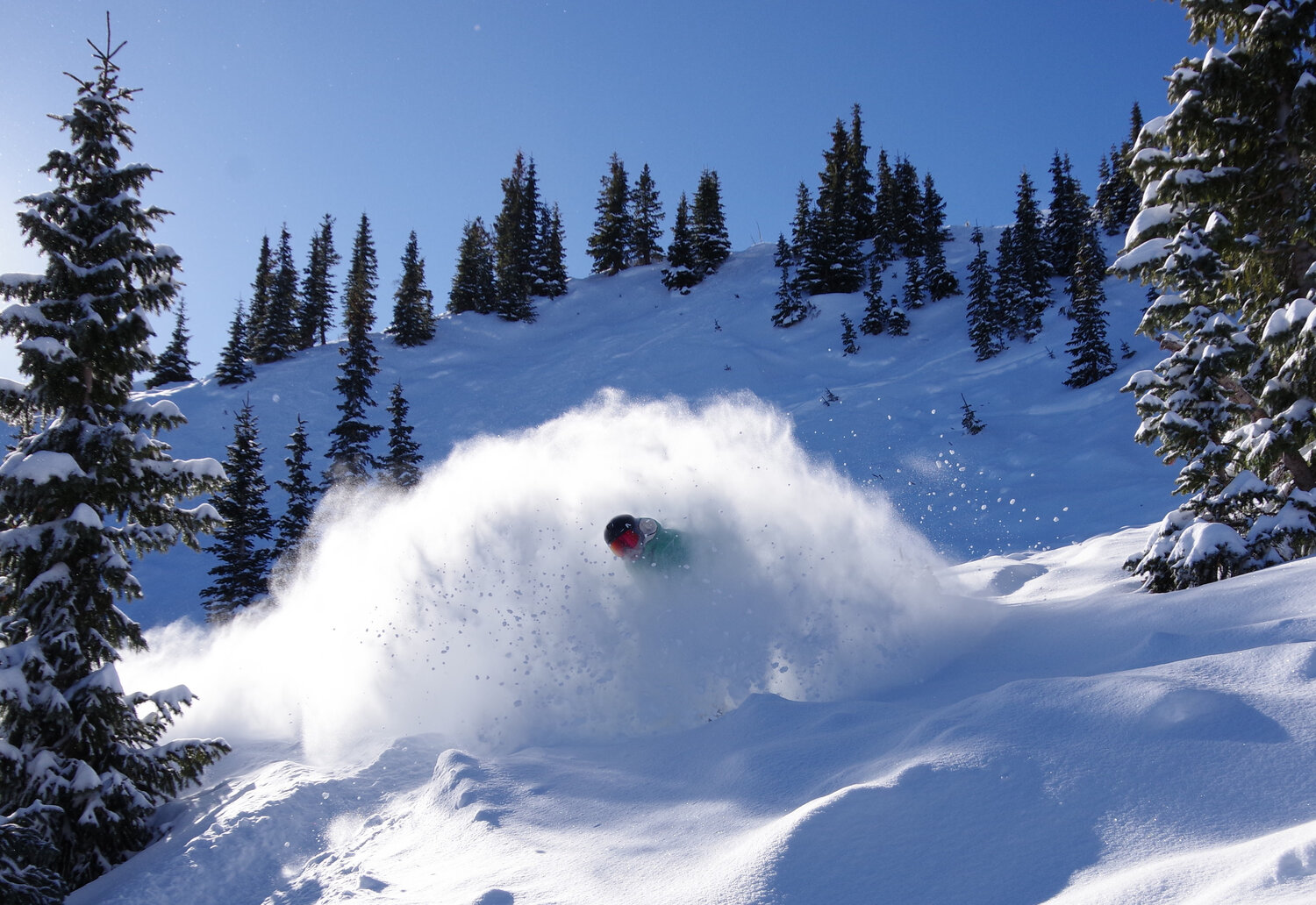
A “real” winter storm rolled through Pagosa Country last week, leaving behind 1-2 feet, or more, of fresh snow in spots around the county. Meanwhile, Wolf Creek Ski Area reported nearly 5 feet of new snow, with a total of 59 inches falling from Feb. 17 through Feb. 21.
According to reports entered into the Community Collaborative Rain, Hail and Snow (CoCoRaHS) network, snow totals in Pagosa Springs for the five-day period ranged from 15.8 inches downtown up to 18.6 inches uptown. The highest totals were seen in the northern part of the county, ranging from 24 inches near Lake Hatcher up to 31.5 inches along the Mineral County border.
As of Feb. 25, the ski area reported a year-to-date snowfall of 164 inches with a midway depth of 82 inches and a summit depth of 89 inches.
Avalanche danger remains considerable as of press time Wednesday, according to the Colorado Avalanche Information Center (CAIC).
“Obvious signs of instability have decreased, but don’t let your guard down. Conservative terrain selection is essential for safe travel in the backcountry. For safer travel, simply avoid avalanche terrain altogether, including runout zones, and stick to slopes less than about 30 degrees steep,” the CAIC website notes.
As of Tuesday, Feb. 24, since Feb. 11 the CAIC had received 137 avalanche reports in the southern mountain region, which includes Wolf Creek Pass.
“The past week saw more avalanches—including the season’s largest—than any other period this winter,” the CAIC website notes.
Snowpack
According to the Natural Resource Conservation Services (NRCS), as of Feb. 24, the San Miguel, Dolores, Animas and San Juan River basins were measured to be at 64 percent of its 30-year median snowpack. The statewide snowpack as of Feb. 25 was at 63 percent.
A post by Shawn Prochazka from Pagosa Weather notes that the snowpack in the basins jumped from 42 percent to 60 percent during last week’s storm.
“That’s an impressive jump this late in the season,” Prochazka writes.
As of 11 a.m. on Wednesday, Feb. 25, Wolf Creek Pass, at 10,930 feet, had a snow water equivalent of 14.7 inches.
The current amount is 64 percent of that date’s median snow water equivalent.
Snowpack levels are monitored by measuring snow water equivalents that gauge how much water is held within a snowfield, and are significant predictors of springtime runoff.
The Wolf Creek summit had the highest current snow water equivalent in the San Miguel, Dolores, Animas and San Juan River basins, and the Upper Rio Grande basin, as of press time Wednesday.
Forecast
Warm temperatures and sunny skies are expected throughout the weekend, with the National Weather Service (NWS) forecasting highs in the low 40s and sunny skies along Wolf Creek Pass.
For today, Thursday, Feb. 26, the high on Wolf Creek Pass is forecast at 37 degrees with sunny skies and wind gusts as high as 30 mph. The low is forecast around 23 degrees with mostly clear skies.
Tomorrow, Friday, Feb. 27, the high is forecast at 41 degrees with sunny skies and a west-northwest wind of 10 mph. The low is forecast at 27 degrees with partly cloudy skies in the evening.
For Saturday, Feb. 28, the high is forecast at 42 degrees with mostly sunny skies. The low is forecast around 30 degrees with partly cloudy skies in the evening.
Warm temperatures will continue on Sunday, March 1, with a high of 42 degrees forecasted, along with wind gusts as high as 35 mph. The low is forecast at 29 degrees with partly cloudy skies in the evening.
Even warmer temperatures are expected in Pagosa Springs throughout the weekend, with highs forecasted in the low 60s.
The high for today, Thursday, Feb. 26, in Pagosa Springs is forecast at 61 degrees with sunny skies. The low is forecast at 23 degrees with partly cloudy skies in the evening.
Tomorrow, Friday, Feb. 27, the high is forecast at 61 degrees with sunny skies and the low is forecast at 25 degrees with partly cloudy skies in the evening.
For Saturday, Feb. 28, the high is forecast at 63 degrees with mostly sunny skies and the low is forecast at 28 degrees with partly cloudy skies in the evening.
For Sunday, March 1, the high is forecast at 64 degrees with mostly sunny skies and the low is forecast at 29 degrees with partly cloudy skies in the evening.
The next chance for precipitation in Pagosa Country may begin around March 2, as a Pagosa Weather forecast posted on Feb. 23 explains that a disturbance passage will “beat down our ridge and allow a shutoff low to move in from the southwest by March 2nd.”
Other sources, such as AccuWeather, indicate an 80 percent chance of rain and snow in Pagosa Springs on March 2 and 3.
Drought
According to the U.S. Drought Monitor’s most recent map released on Feb. 19, which was valid as of Feb. 17, 100 percent of Archuleta County is in an “abnormally dry” drought stage, with 47.89 percent of the county (the northern half) in a “moderate drought” stage.
The far northwestern portion of Archuleta County — 2.17 percent of the county — is in a “severe drought” stage.


 >
>