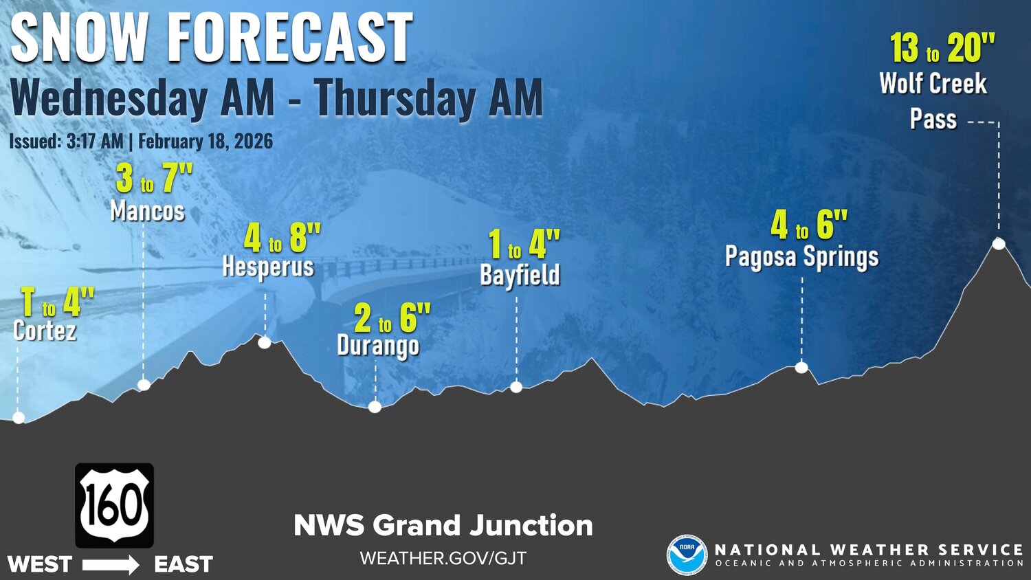
The area's winter storm is continuing, with the National Weather Service (NWS) predicting an additional 6 to 12 inches for most mountain ranges in the state, with localized amounts upward of 15 inches possible, through early Thursday morning.
According to the NWS, afternoon wind gusts of 30 to 50 mph are expected, and up to 50 to 70 mph in the mountains.
The agency warns blowing and drifting snow could reduce visibility at times.
According to Pagosa Weather, "Conditions will just get worse through the afternoon. Moderate to heavy snow will fall until the front moves through around sunset."
The NWS notes that snow shower coverage and intensity will decrease Wednesday night.
" Another round of impactful snow is on tap Thursday night through Friday favoring the southern and central mountains," according to the NWS.


 >
>