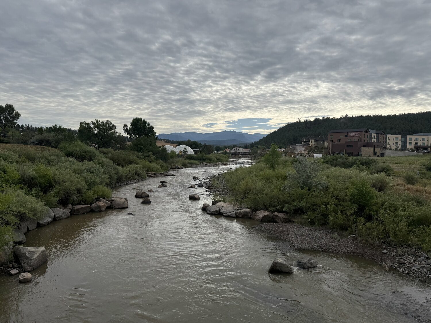
The majority of Pagosa Country experienced some level of precipitation over the last week, with the heaviest rainfall amounts recorded on Tuesday, July 22, according to reports from the Community Collaborative Rain, hail and Snow Network (CoCoRaHS).
From July 22 through July 23, the heaviest amount of rainfall reported in Archuleta County was near the Pagosa Lakes area with a report of 1.54 inches, according to CoCoRaHS.
Areas near Lake Hatcher received anywhere from .35 inches to .83 inches for that same time period, while a report near Chromo shows .55 inches of rain received.
River flows
According to the U.S. Geological Survey (USGS), as of noon on Wednesday, July 23, the San Juan River in downtown Pagosa Springs spiked with a flow rate of 113 cubic feet per second (cfs), which is up from a reported 40.9 cfs from 24 hours prior on Tuesday, July 22.
The last time the San Juan River was flowing at a rate above 100 cfs this summer was on July 4, when it was reported to be flowing at 101 cfs.
According to the USGS, the lowest reported flow for July 23 came in 2002 with a rate of 18.7 cfs, while the highest reported flow was in 1941 at 1,040 cfs.
The median flow for July 23 is 152 cfs, and the mean is 217 cfs.
The Piedra River near Arboles was flowing at a rate of 30.2 cfs as of noon Wednesday, July 23, according to the USGS. The median flow for July 23 is 140 cfs, and the mean flow is 196 cfs.
The record high flow for July 23 was recorded in 1986 at 1,160 cfs, while the record low was 12.2 cfs, recorded in 2002.
Forecast
According to a report from Shawn Prochazka with Pagosa Weather, “The weak monsoon plunge will wobble back and forth across the region” through Monday, July 28.
According to the National Weather Service (NWS), today, Thursday, July 24, Pagosa Springs is forecasted to have a 40 percent chance of showers and thunderstorms after noon, with a high near 84 degrees. The low is forecast to be 45 degrees with a 10 percent chance of showers and thunderstorms before midnight.
For Friday, July 25, the high is forecast to be 85 degrees with a 10 percent chance of showers and thunderstorms after noon. The low is forecast to be 44 degrees with mostly clear skies.
The high on Saturday, July 26, is forecast to be 87 degrees with sunny skies, with low of 46 degrees and mostly clear skies at night.
Similar conditions are expected on Sunday, July 27, with the forecast high sitting at 89 degrees with sunny skies and a low of 49 degrees with partly cloudy skies at night.
clayton@pagosasun.com


 >
>